
Late in 2014, Google has just revealed that its popular My Maps service would be available on Google Drive just before the start of the 2015 New Year.
Effective immediately, My Maps, a custom map creation tool, is accessible on Google Drive, making it possible to create, access and share maps from your desktop and mobile phone. A perfect way for you and your friends to plan that long awaited trip together or share with your colleagues the details of an upcoming business trip.
All of the added features that were once available on the My Maps Pro paid subscription, is now available (for free) on the regular My Maps tool. These new features include the ability to add up to 10 layers and more icons (10,000 per map) when pinpointing areas of interest. The ability to import larger spreadsheets or CSV files (up to 2,000 addresses per layer) and have up to 25,000 daily map views means businesses can accommodate more traffic on their website than ever before.
So what’s the big deal, you say? Google just made your luggage a tad bit lighter by eliminating the need to always carry a physical map or guidebook with you—a welcome relief for any independent backpacker (trust me, you’ll love not having to lug around that extra bit of weight on your back).
I’ve used My Maps for years and have found it to be an indispensable tool when planning a travel itinerary. I used it a few years ago when I planned my trip to Europe and I’m using it now as I put the finishing touches on my forthcoming South America trip. It’s a great pre-trip planning tool, especially when you want a visual aid to help determine potential transportation times and travel distances between cities and/or countries. And, as you go about mapping your route, it may even help you discover some new cities or points of interest to visit along the way, simply by using the My Maps measuring tool to work out the approximate distance and time. That’s how I kept adding cities to my itinerary and changing my route as I went along.
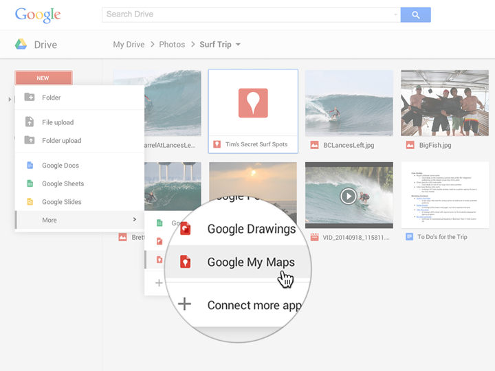
Photo: Google
The ability to import spreadsheet data makes having a guidebook (almost) obsolete. Whether you read up on your travel research from online forums or guidebooks, you’ll obviously need these tools to help prepare you for your trip. But now that you can import bigger spreadsheets, you can input even more of your important travel details (i.e. hotel booking reservations, bus/train departure and arrival times, list of activities, address locations of ‘can’t miss’ restaurants, and so forth) into the data table. This means the more information you can store digitally, the less you’ll need to rely on a physical map or guidebook to get around.
The beauty of this new development is that you can now pull up a map on your phone, whenever you need it and wherever you may be. It makes traveling much more practical, easier, less of a hassle and, perhaps, may even make you look less of a tourist and more like a local (some good news for all you ‘ugly Americans’ out there).
Now, of course, this assumes you’ll have a data plan on your phone (make sure to check with your phone carrier, as data rates will be astronomical if you’re not on a travel friendly plan) or access to Wi-Fi in order to view your map, which for most travelers I’m sure will not be a problem. Keep in mind that My Maps is available for offline use as well, but limited to maps of less than 50×50 square km. Let’s hope Google expands the offline capabilities in the near future. And even if your travels take you off the beaten path with no internet connection, My Maps is a great pre-trip tool to help plan your next adventure.

